Turns out City Hall cares about motorists who fly down the Florin Road West ramp from Interstate 5 and speed through the wide intersection at Greenhaven Drive. There are high-level concerns about access to schools such as Martin Luther King Jr. K-8, which lacks easy access to bike trails and forces kids to cross Rush River Drive.
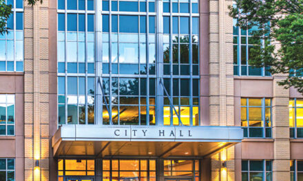
After years of promising to improve traffic conditions and connectivity in Greenhaven and Pocket, the City Council has decided to act. Prodded by Councilmember Rick Jennings, the city hired a consultant to examine the community’s unique traffic culture—the architecture, landscapes and engineering that allow people to move from Riverside Boulevard to Pocket Road and points in between.
The consultant charges $485,543. The contract runs through next June. Coronavirus lockdowns have slowed the project. But with luck, the results will be transformative.
“This community was designed for cars,” Jennings says. “In the decades that have passed, people have changed, but the design hasn’t. It’s still all about cars.”
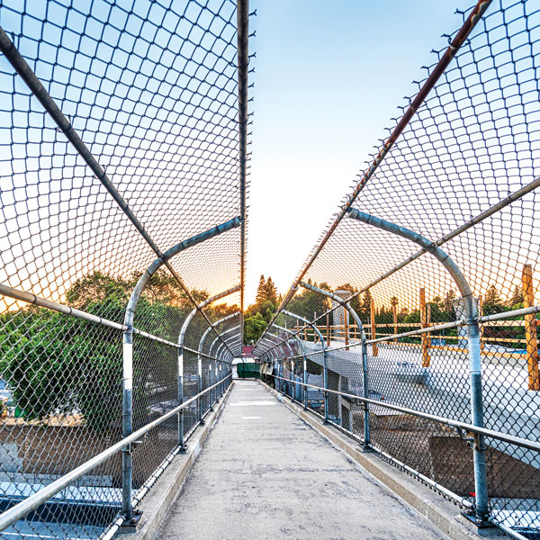
Cars were king when the Pocket’s Portuguese farm fields were subdivided between the late 1960s and 1980s. Engineers designed wide and winding roads that flow with circular logic. Rush River gives way to Windbridge. Greenhaven converges with Florin and Gloria, which doubles back. In between are connective tissues of bike trails and smaller streets. Pathways follow the canals and greenbelt. Pedestrian and bike bridges vault the busiest streets.
The community layout lacks the dull symmetry of the Downtown grid. The meandering roads provide contrast to the look-alike suburban ranch homes that fill Pocket’s interior streets: domiciles dominated by driveways and garages. That’s what people wanted 40 years ago. Judging by the steady rise in Pocket home sales prices, it’s what they still want.
But the enlightenment of 1970s suburban design creates problems in 2020. Wide streets encourage speeding. The city has tried various tricks to slow cars, from speed bumps to stop signs to motorcycle cops. But wide Pocket streets inevitably invite squealing tires and roaring tailpipes.
“There are people who don’t respect the community. They think it’s OK to go 60 mph down Pocket and Riverside,” Jennings says.
There are other problems. Bike trails don’t all connect. At key intersections, cyclists meet cars. When the Sacramento River parkway levee opens to bike traffic, a promise made to residents almost 50 years ago will be honored. Meantime, street improvements can help bikes and pedestrians reach the levee.
“Our streets should reflect how people get around today,” Jennings says. “People ride bikes and scooters. They walk. The street layouts should encourage those activities.”
The city’s consultant, Fehr & Peers, is a leader in transportation engineering and architecture. It specializes in “active transportation,” which uses traffic designs to nudge people away from cars and into neighborhood environments by foot or bicycle.
The consultants will dig into Pocket transportation habits and gather data on everything from bus stops and sidewalks to crash locations. They will figure out where people go. The study will examine traffic around schools and the community’s five main shopping centers.
As key corridors are identified, solutions will come forward. Can certain streets be narrowed? Can bike paths be moved and connected?
Here’s where the community comes in. Jennings says the consultants must listen to the neighbors. Six listening sessions and two community meetings are planned. A website collects feedback: www.cityofsacramento.org/public-works/transportation/planning-projects/pocket-greenhaven.
“The coronavirus has slowed us down, but this must be a community-based plan,” Jennings says.
Next year, the consultants will gather data and ideas and tell the city how to improve traffic in Pocket and Greenhaven. They will estimate the cost. That’s when commitments will really be tested.
R.E. Graswich can be reached at regraswich@icloud.com. Follow us on Facebook, Twitter and Instagram: @insidesacramento.


