
Big Dig Underway
Levee repairs impact trees, traffic, neighborhoods
By R.E. Graswich
January 2020
“This represents a relatively small amount of vegetation in proportion to existing trees and shrubs,” says a report by the U.S. Army Corps of Engineers.
The task is bigger than many residents realize. Hundreds of construction workers, hundreds of trucks and heavy equipment, and tons of concrete and dirt are required. The toughest task involves cutoff walls, which will be installed inside the levee. Crews will dig and fill trenches from 35 feet to 135 feet below ground. The levee will receive a new crown.
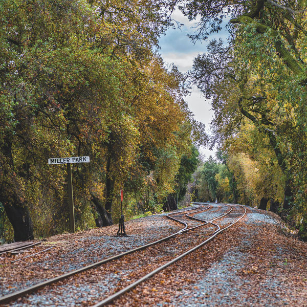
There are three key worksites: from the Freeport intake facility to the Pocket Canal near Garcia Bend, from 35th Avenue to Inez Way in Little Pocket, and from Sutterville Road to Miller Park. Every resident of Pocket and Little Pocket will feel the impact.
Tree and vegetation removal was scheduled to begin in December and continue through February. The bulk of heavy construction will take place in the dry months, April to November.
My friend Jim Geary is an expert on the levee-repair project. The Pocket resident and retired attorney has acquired binders full of official documents related to the work. “It’s the biggest thing that’s happened around here in a long time,” he says.
Like many residents, Geary wonders what impact the work will have on residents, trees, traffic and the levee itself. The more he learns, the more he realizes the scope hasn’t been well communicated. He has documents describing tree removals. He has chapters estimating truck traffic between the worksites and Downtown railyards, where dirt will be dumped.
Many of the haul trucks will use Interstate 5. They will rumble through neighborhoods to reach the levee. The Army Corps project report says, “Haul trucks on the smaller local roadways within individual neighborhoods would only be present on a short-term temporary basis, from a few weeks to a month.”
Traffic lanes will be closed. The work will clog local roadways with trucks making up to 850 round trips per day. In the classic, deadpan tone of bureaucratic authorship, the Corps report notes, “This level of traffic increase would potentially degrade traffic operations below the acceptable threshold.” And this: “Construction-related traffic could also delay or temporarily obstruct the movement of emergency vehicles.”
Local residents aren’t the only people affected. Motorists passing through town can expect delays—especially since Caltrans has coincidentally begun a three-year effort to improve I-5 from the American River south to Elk Grove Boulevard.
The levee is a recreation site. Not surprisingly, recreation will stop during construction. Garcia Bend and Miller parks are being used as staging areas.
Despite the inconveniences, there’s no question the work must be done. The Corps believes the levee carries an “unacceptably high risk” of failure, which threatens about 530,000 people. The Corps says, “The consequences of such a levee failure would be severe, because the inundated area is highly urbanized and flooding could be up to 20 feet deep.”
That’s nobody’s idea of a bright future.
The 209-page Army Corps report on the Sacramento River levee project is available at spk.usace.army.mil.
R.E. Graswich can be reached at regraswich@icloud.com. Follow us on Facebook, Twitter and Instagram: @insidesacramento.