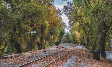

Making Tracks
City report shows how levee trail will work
By R.E. Graswich
June 2019
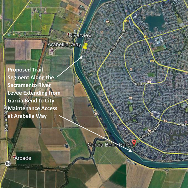
The new parkway trail atop the Sacramento River levee north from Garcia Bend Park to Arabella Way will not disturb song sparrows, bank swallows, burrowing owls or western yellow-billed cuckoos.
The trail might interrupt the landing pattern of a Swainson’s hawk or two, but that’s not likely. Turtles, beetles, snakes, shrimp, badgers and Chinook salmon will not be impacted by the construction work.
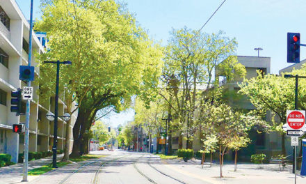
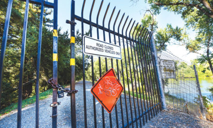
Pocket residents are still a couple of years away from being able to walk, run or ride bikes on the new trail. The recreational project must wait for completion of levee repairs, which are underway by the Sacramento Area Flood Control Agency and Army Corps of Engineers.
The levee improvements are massive—tree removal, erosion control, relief wells and foundational stability are all part of the plan. Once the flood-control work is finished, city crews will pave the public pathway atop the newly rejuvenated levee, probably in 2022.
For those of us who have spent years agitating for public access to the levee, 2022 seems like a beckoning treasure. We see it on the horizon. We can almost touch it.
And we can read about it—in spectacular detail. This spring, the city completed its obligatory Environmental Impact Report update on the Sacramento River Parkway Trail. Environmental documents can numb the brain, but the levee parkway EIR is riveting. Covering 175 pages, the thesis finally confirms the city’s promise for a recreational dream conceived in 1975.
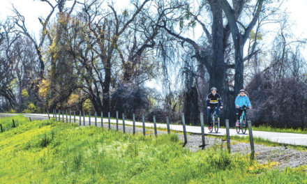
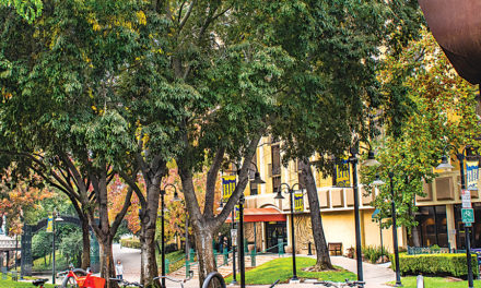
The EIR covers the first extension of what will one day be a parkway trail that allows people to walk or cycle from Freeport to Downtown, and into Folsom if they wish, along the Sacramento and American rivers. The finished trail will make Sacramento unique and enviable among cities. It will serve as the region’s most extensive and valuable public recreational asset.
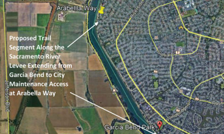
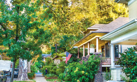
The new stretch from Garcia Bend to Arabella goes 1.85 miles. That may not sound like much, but it’s essential to the larger, grander plan. For 44 years, a handful of homeowners along the levee used political influence and legal threats to prevent the trail from being built atop the levee.
They bullied local bureaucrats and sweet-talked state authorities into handing out fence permits to block public access to the levee. They treated the riverfront as their own private playground.
They damaged the levee with illegal staircases and vegetation, built picnic grounds and acted as if the river was created for their benefit. Upstream, a few property owners are still causing trouble. The new 1.85-mile trail is the first time the city truly puts public access ahead of private interests on the Pocket levee.
The EIR is a comprehensive study. There are maps and aerial photos. Charts explain why various species of birds, reptiles, mammals, fish and plants won’t be displaced by the work.
Construction irritants such as noise and vibration are addressed. As for dust kicked up by the trail builders, the report explains how water trucks will wash down the work zone twice daily. A street sweeper will vacuum every day.
There’s even a plan for the discovery of Native American remains or artifacts. An archeologist will be on standby, and the Native American Heritage Commission will be a phone call away should something turn up. Given that the project won’t dig deeper than 2 feet and is atop a 20th century levee, the presence of relics is “highly unlikely,” the report says.

Not everyone will be pleased. No doubt a few property owners along the levee will cook up complaints. Some folks just can’t stand progress.
R.E. Graswich can be reached at regraswich@iclould.com.